Features
Everything a captain needs for the spot they're looking at — on one chart, from the best available source.
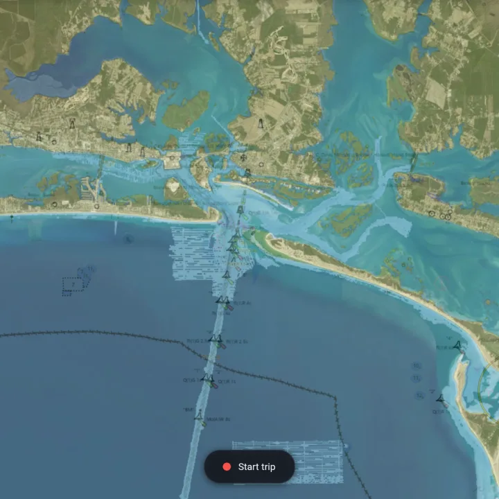
Charts & base maps
Satellite basemap with NOAA nautical chart and seamark overlays, plus bathymetry depth contours — the chart foundation for the area you're viewing.
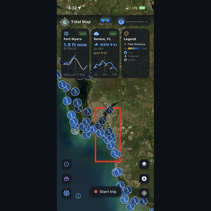
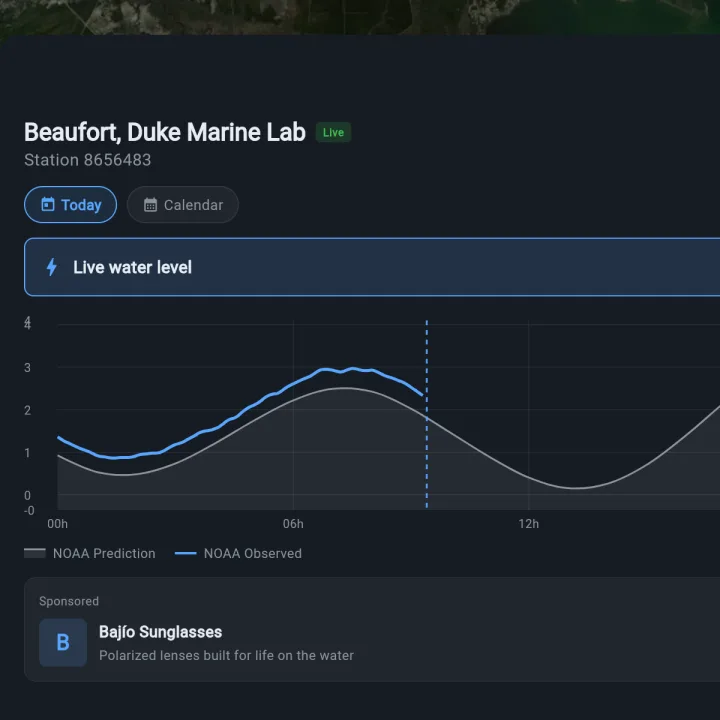
Live & predicted tides
NOAA CO-OPS predicted and observed water levels for every station on the US coast, plus PR, USVI, and the Pacific islands. Live gauge pins, interactive charts, and a monthly tide calendar.
Weather & wind
NWS HRRR wind, precip, and cloud overlays across CONUS, plus live NDBC buoy observations — animated so you can read the trend, not just a number.
Sea-surface temp & water color
Satellite SST, isotherms, and chlorophyll overlays for finding edges and breaks — the temperature lines offshore fishermen chase.
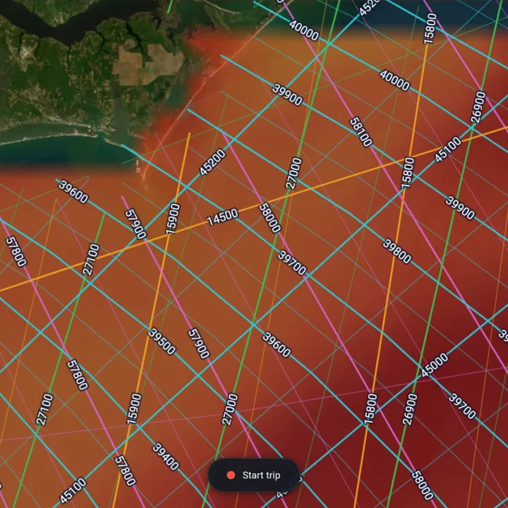
Currents & swell
RTOFS surface currents and NWPS swell forecasts so you know how the water's moving and what the ride out will feel like.
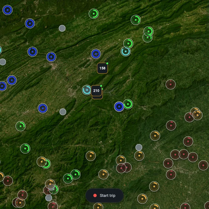
River flow & dam releases
USGS live streamflow with historic-percentile context, plus next-day TVA generation schedules — tailwater trout anglers are first-class users, not an afterthought.
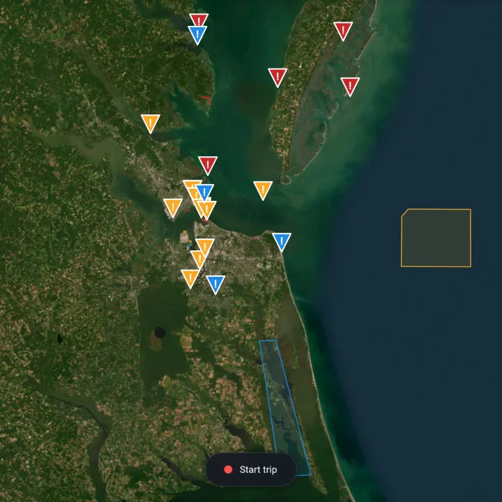
Coast Pilot & hazards
NOAA Coast Pilot reference for the area you're viewing, plus USCG Local Notice to Mariners across all nine operational districts — East, Gulf, Pacific, Great Lakes, Hawaii, and Alaska.
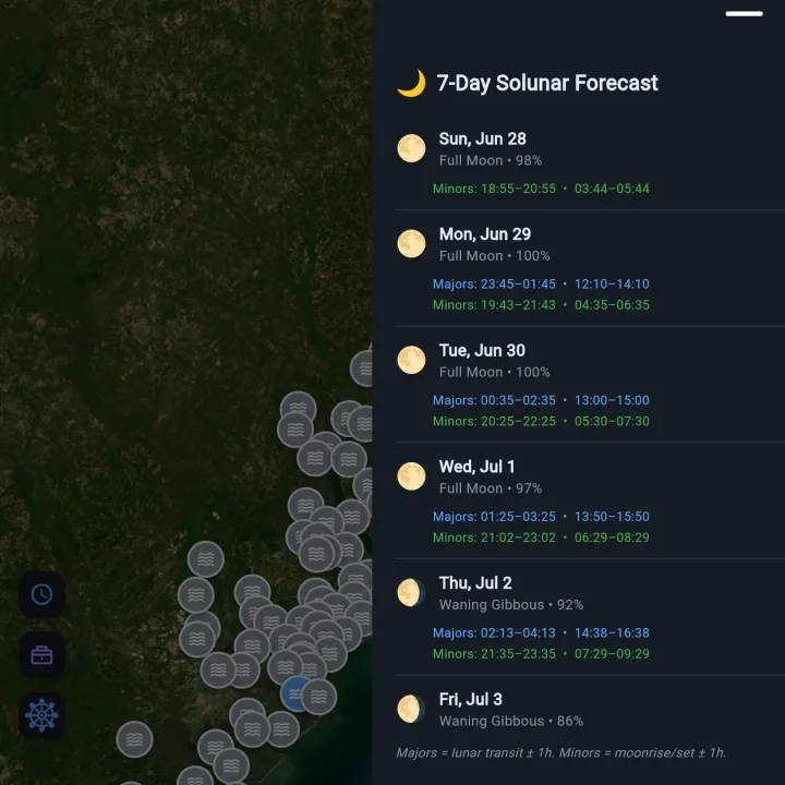
Solunar & moon
Major and minor feeding windows, moon phase, and a solunar force chart — overlaid right on the tide calendar.
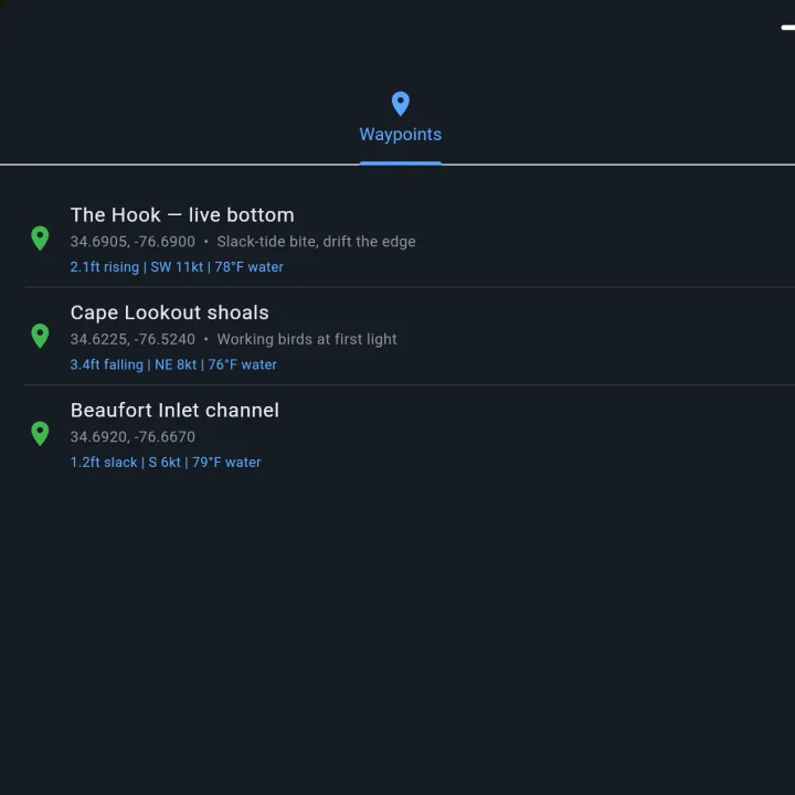
Waypoints & trips
Save your spots with a conditions snapshot, record trips with GPS, and sync across web and iPhone — your data, keyed to your account.
Offline charts
Download regions before you lose signal so the chart and your waypoints are there when the bars aren't.
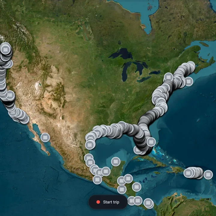
Country-wide coverage
East Coast, Gulf, Puerto Rico, the deep Atlantic, the West Coast, Hawaii, and Alaska — coverage grows as each upstream source does.
Best-available data
Each overlay shows the most accurate signal for your spot — accuracy first, then proximity, then freshness — with the source and age always visible.
Tidal Map is for informational and recreational use — not for navigation.